Drone Photography FAQ
Learn more about drone photography basics, FAA regulations, aerial video services, weather considerations, flight restrictions, and what to expect before your photography session. Explore Mama Drone’s answers to frequently asked questions (FAQ) about professional drone photography in and around Minnesota and Wisconsin.
Drone Photography Basics
-
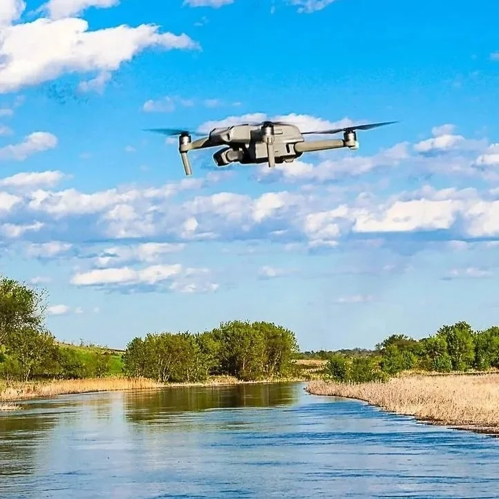
IA drone, or unmanned aircraft system (UAS), is a remotely piloted vehicle used to capture aerial photos and video. I use DJI drones to provide high-quality aerial photography and video for real estate, commercial properties, events, and personal projects in the Lake City, MN and the Lake Pepin region.
-
Yes! I’m a fully licensed and insured FAA Part 107 commercial drone pilot. Every flight is handled safely, legally, and with professional care to deliver excellent aerial photography and
-
Yes—certain areas have drone flight restrictions, including airports with restricted classes of airspace, some cities, protected locations, and near military flight operations. Additionally, there are also specific rules when flying over people and gathering. I’m always mindful of areas where people expect privacy, such as over homes.
In general, these rules exist to ensure aircraft safety, national security, crowd safety, privacy, and environmental and wildlife protection. Before each session, I always review airspace maps and local regulations to ensure all drone photography is safe, legal, and fully compliant.
Lake City, Minnesota - Regional Drone Guidelines
I’m very experienced with regional drone restrictions around Southeastern Minnesota and Western Wisconsin, including popular parks, lakes, and landmarks such as Frontenac State Park, Lake Pepin, Mississippi River, St. Croix River in Prescott, WI, Ohuta Park and Beach, the Tiffany Bottoms State Natural Area and more! This local awareness ensures your drone photography projects are handled professionally while respecting all of the local guidelines. -
I follow FAA Part 107 guidelines, which allow drones to fly up to 400 feet above ground level. In certain situations—such as photographing a bluff or inspecting a tall structure—I’m allowed to fly up to 400 feet above that structure or terrain when it’s safe and permitted.
This flexibility allows me to capture wide, scenic aerial views of properties, waterfronts, and events while still operating safely and within federal regulations. Some locations may have additional drone restrictions, which I always verify before flying.
-
I always check the weather well before the mission. A close eye to the sky helps me anticipate most re-schedules, before the scheduled photo session. Extremes of weather impact the drone itself, photography and aerial video quality. Conditions aren’t safe in high winds, rain, or poor visibility—we’ll reschedule your session for the next available good-weather day.
-
Most batteries last about 40 minutes each. I bring multiple batteries for each photoshoot to ensure enough flight time.
Can a drone fly over water?
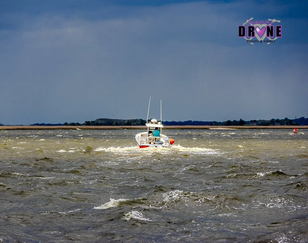
Yes! Flying my drone over water is my specialty!
I’ve captured drone footage during canoe races on the Mississippi River and followed a through-paddle journey on the Minnesota River covering more than 300 miles, both day and night.
Drone photography over water creates some of the most beautiful and unique perspectives. I regularly photograph Lake Pepin, Mississippi River Pool 4, marinas, and shoreline views.
Can a drone fly all four seasons of the year?
Yes! I love flying my drone in winter, spring, summer & fall!
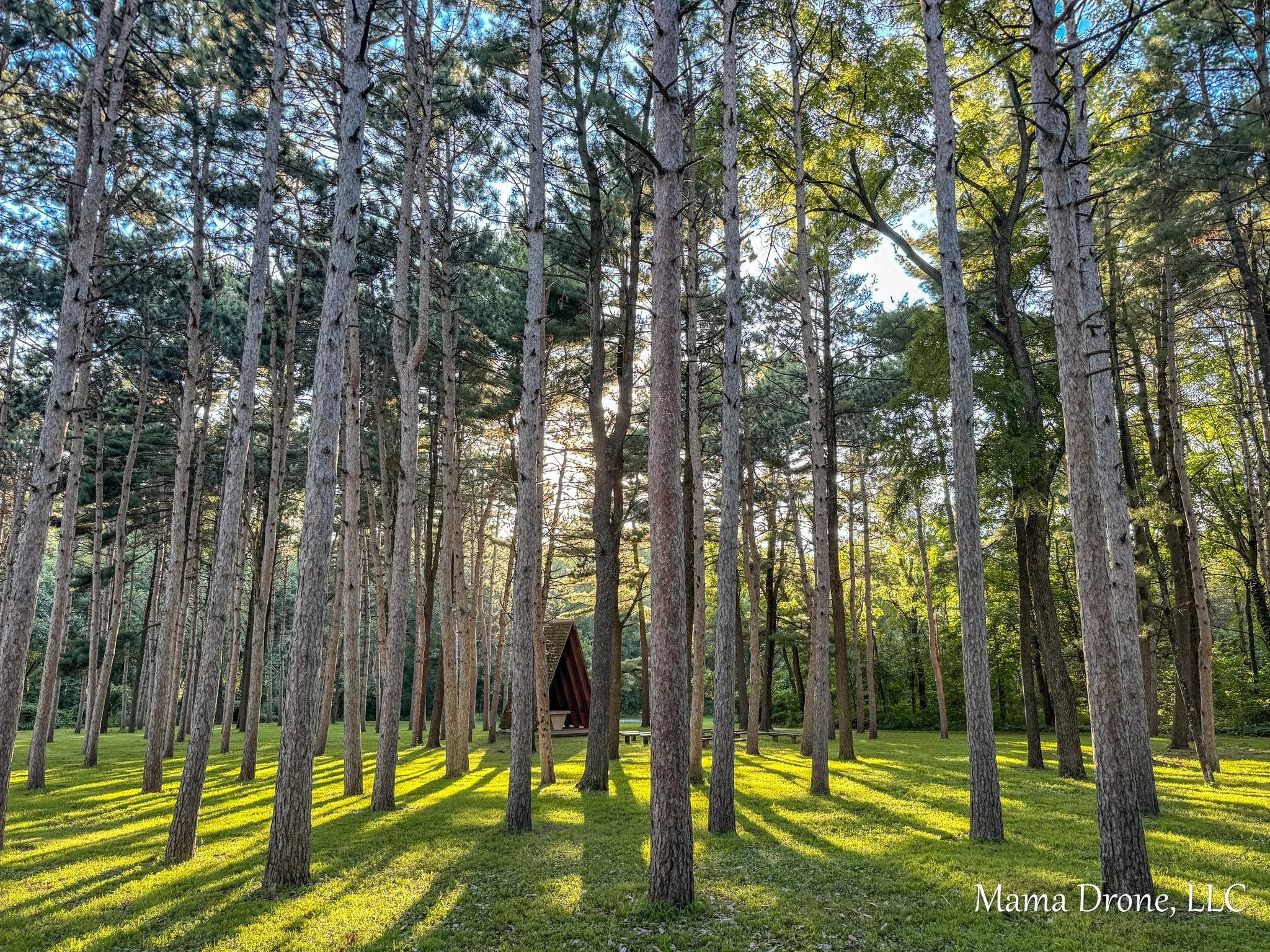
Year-round drone photography lets you showcase the same property, building, or location in a completely unique way—from lush summer landscapes and colorful fall foliage to crisp winter scenes and spring’s fresh growth.
Spring at Hok-Si-La Campground, Lake City, Minnesota
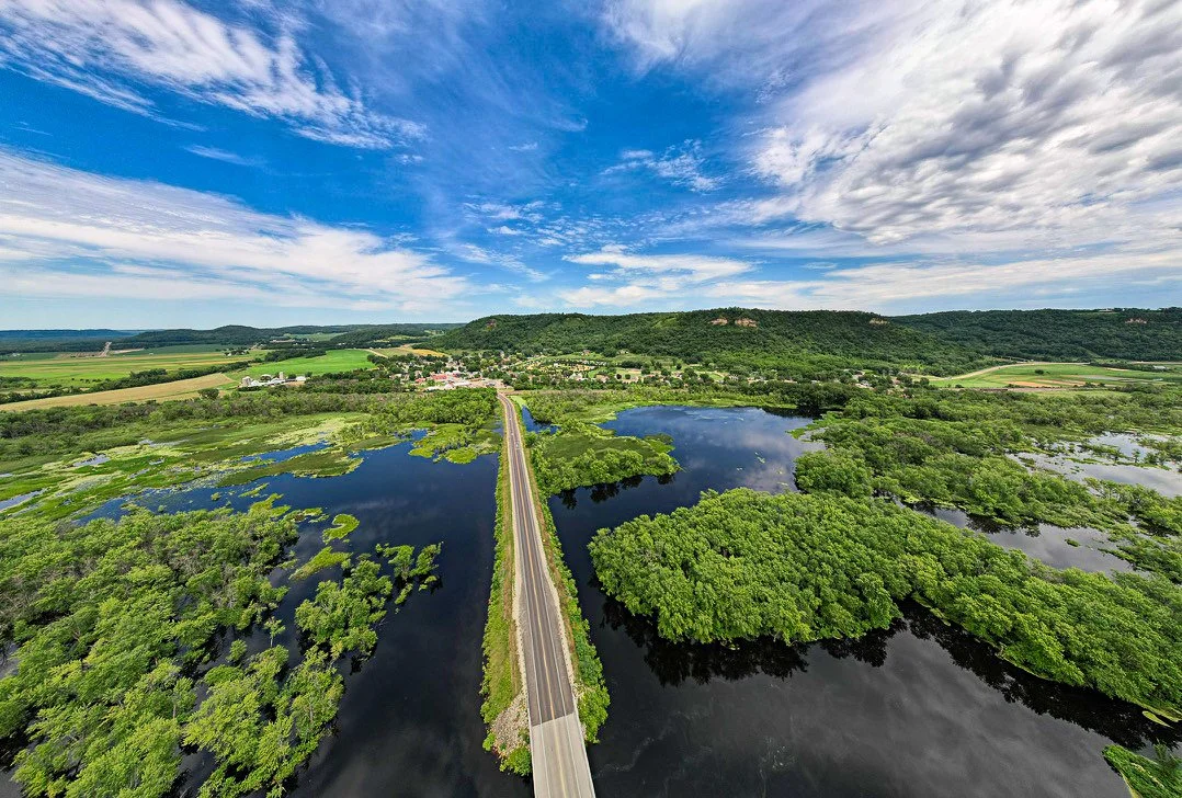
Summer in Wisconsin!
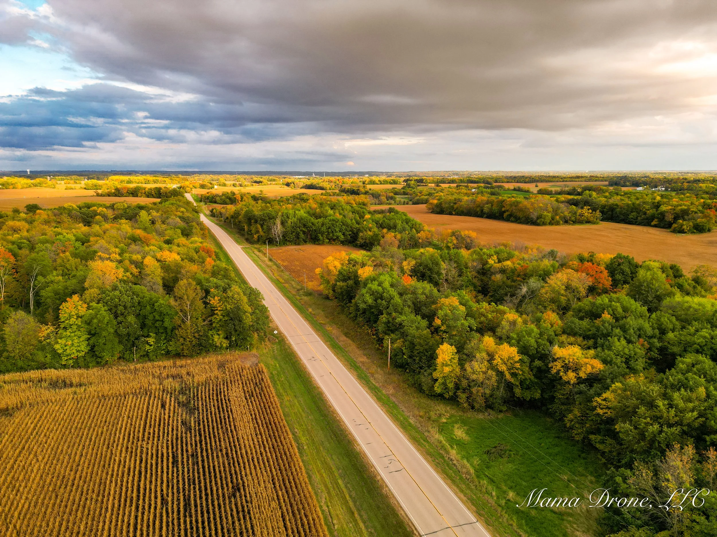
Aerial View of Minnesota's Fall Colors!
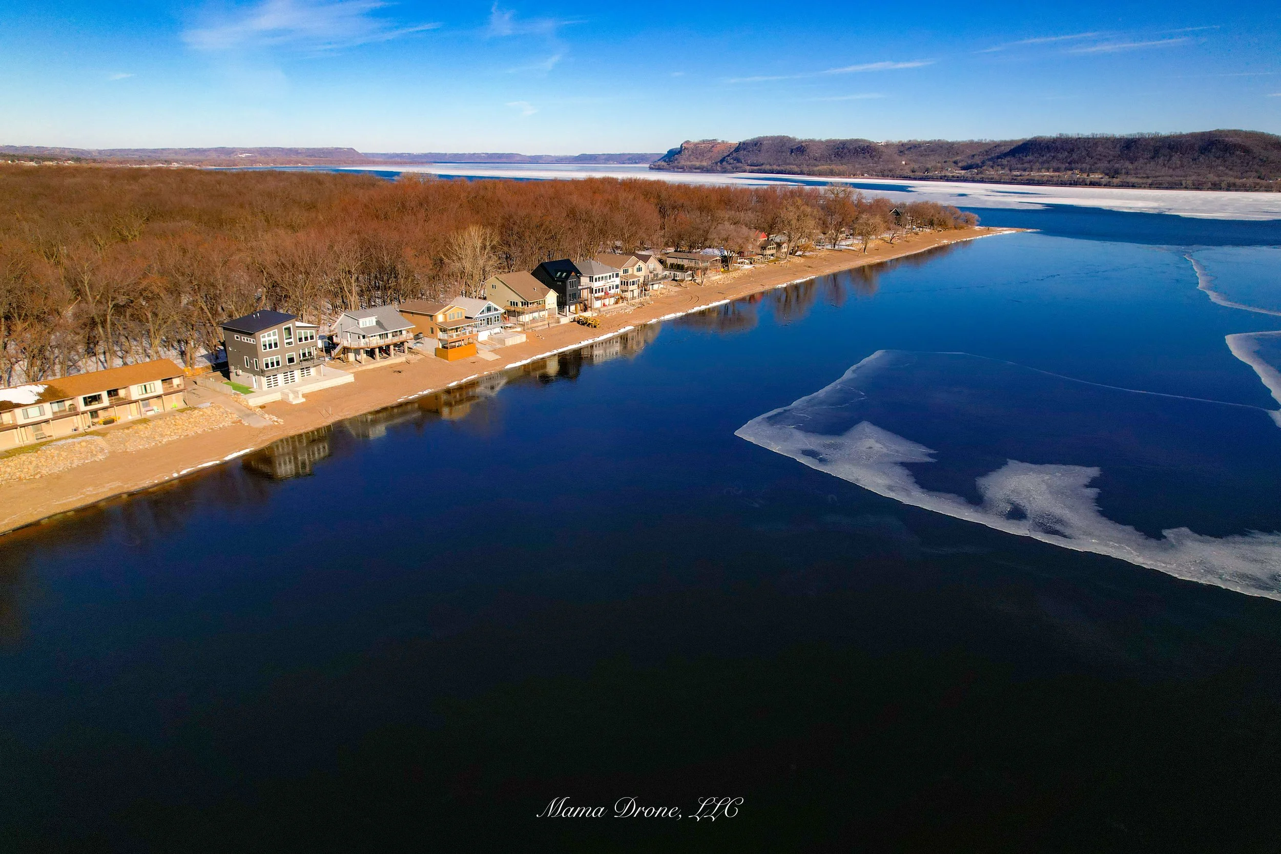
Winter Aerial View of Lake Pepin MN and WI.
Interested in Mama Drone’s four-season drone photography packages? Let’s chat!
Drone Imagery
-
I capture a variety of aerial shots, including multiple angles of overhead views, wide landscapes, wide landscape shots, real estate and commercial property highlights, water scenes, and smooth cinematic aerial video that showcase your subject from above. I can also bring the drone down to ground level for a unique perspective. Additionally, I have two Canon cameras and various lenses, which augment the drone photos, or sometimes are the main source of the photo shoot.
-
Yes! Along with drone photography images, I provide professional aerial video services that are perfect for outdoor real estate listings, commercial marketing, events, and unique family photography. Videos are high-quality, smooth, edited and ready for social media, websites, or promotional campaigns.
Who can benefit from your drone photography services?
I work with a wide variety of clients:
Real estate agents looking for aerial property listings
Small businesses and commercial properties needing marketing visuals
Event organizers for festivals, races, or community gatherings
Families and personal projects like weddings, farm life, or multigenerational outings
All imagery and video are professionally edited and delivered through a private Google Drive gallery, with copyright release included for marketing or personal use.
A Former Client’s Testimonial
-
"Mama Drone is awesome! Trish took drone shots and other photos during my canoe trip down both the Minnesota River and the Mississippi River. She also captured great footage during the Minnesota Paddling Opener. She is friendly, professional and talented. Highly recommend!"
— S.M.